The brief.
The listed brief was the renewal of a spatial software licence and the provision of a 2026 dataset. The focus is on keeping the tools and geographic information available for municipal use.
Spatial software licence renewal and provision of the 2026 dataset for Umvoti Local Municipality.
Software licence and dataset renewal
The listed brief was the renewal of a spatial software licence and the provision of a 2026 dataset. The focus is on keeping the tools and geographic information available for municipal use.
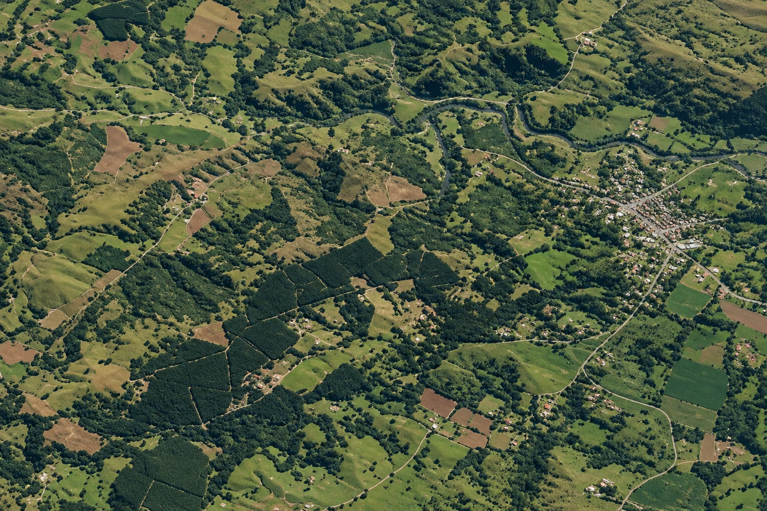
Umvoti includes Greytown, Kranskop and surrounding rural areas. Satellite imagery provides a view of the landscape and land cover, giving geographic context for the municipality’s spatial data needs.
A current licence and dataset support continuity in a spatial-information workflow. They give users the tools and reference data needed to work with location-based information without changing the project into a new planning or construction commission.