01The brief.
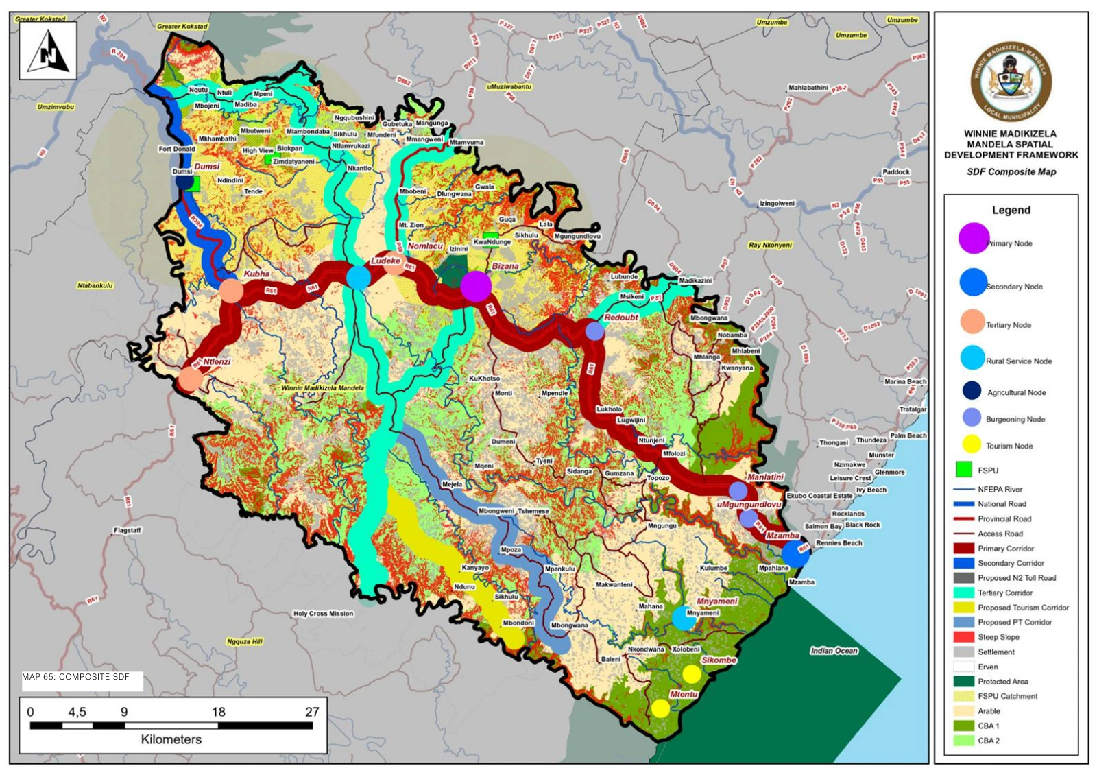
The project brief was the preparation of a Spatial Development Framework for Winnie Madikizela-Mandela Local Municipality. A municipal SDF sets out how settlements, land uses, infrastructure and development priorities relate to one another across an area.
02Understanding the place.
Bizana is an important municipal centre, while places such as Ludeke and Mzamba form part of the wider settlement and coastal context. The public municipal framework shows the relationship between development nodes, road corridors, agricultural land and sensitive environmental areas.
03Why it matters.
The framework gives future planning decisions a common spatial reference. It helps a reader consider development in relation to access, existing settlements and the character of the surrounding land.