01The brief.
The listed brief covered online satellite imagery, an imagery portal for viewing and downloading data, and value-added services over a period of 36 months. This is a spatial-information project rather than a municipal SDF preparation project.
02Understanding the place.
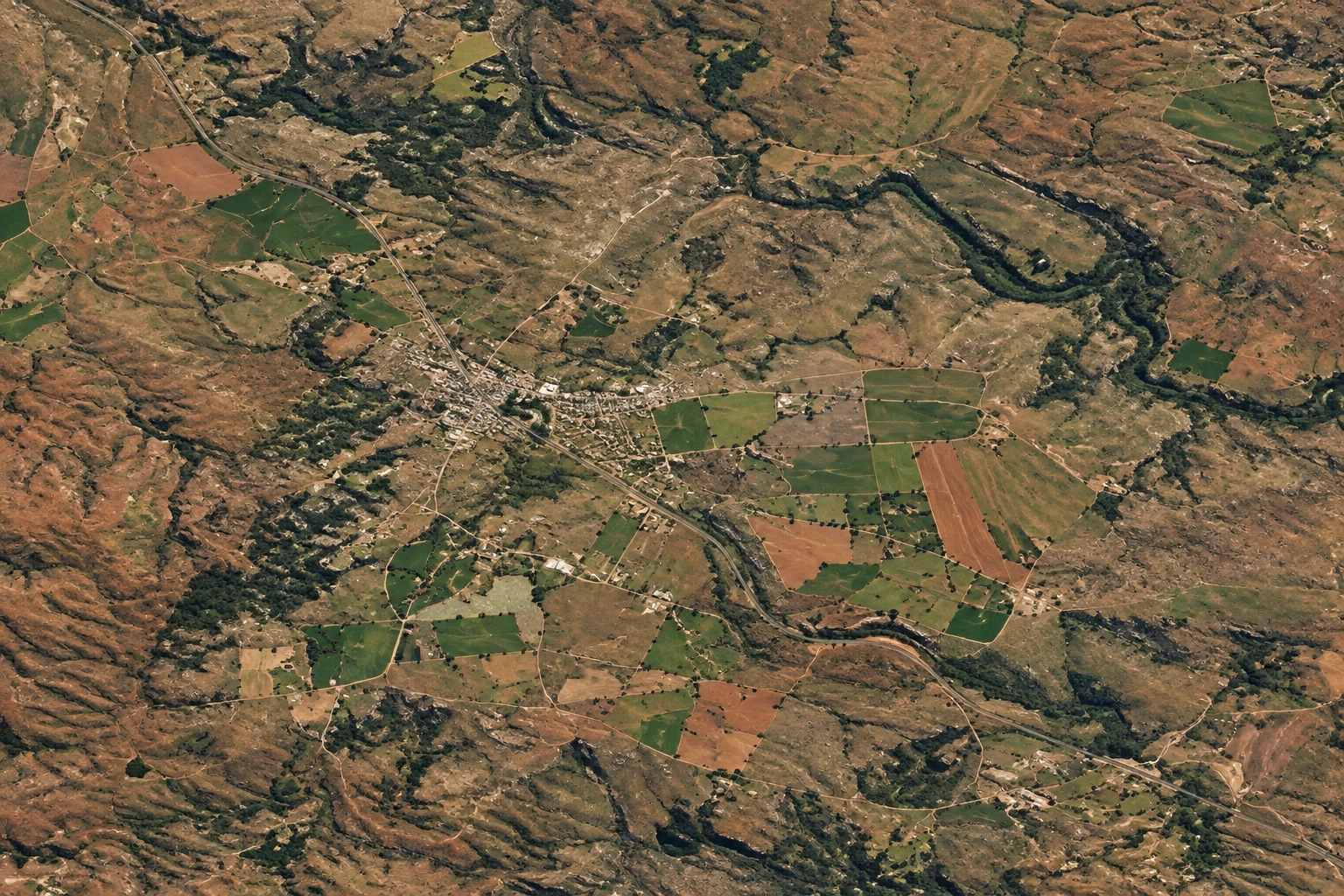
Amajuba includes Newcastle, Utrecht and Dannhauser. Satellite imagery shows the landscape, settlements and surrounding land, providing geographic context for the area served by the imagery portal.
03Why it matters.
A viewing and download portal provides a practical way to access imagery when it is needed for a task. The value lies in bringing spatial information into a usable workflow for people working with the district’s geography.